nav -e -p 60 < t
47.70838	122.16892 -- Kirkland WA                           N47.70838° W122.16892°
  Travel:  218.159 mi E at 91.30°, 3.6 hrs at 60 mph
47.63652	117.47792 -- Spokane WA                            N47.63652° W117.47792°
  Travel:  387.92 mi SE at 137.45°, 6.5 hrs at 60 mph
43.49794	112.04690 -- Idaho Falls ID                        N43.49794° W112.04690°
  Travel:  448.207 mi S at 190.20°, 7.5 hrs at 60 mph
37.10912	113.55566 -- St George UT                          N37.10912° W113.55566°
  Travel:  187.753 mi S at 193.45°, 3.1 hrs at 60 mph
34.46446	114.33537 -- Lake Havasu AZ                        N34.46446° W114.33537°
  Travel:  185.636 mi W at 263.10°, 3.1 hrs at 60 mph
34.14166	117.56648 -- Rancho Cucamonga CA                   N34.14166° W117.56648°
  Travel:  270.733 mi NW at 323.31°, 4.5 hrs at 60 mph
37.28595	120.45239 -- Merced CA                             N37.28595° W120.45239°
  Travel:  372.228 mi N at 339.84°, 6.2 hrs at 60 mph
42.34656	122.87336 -- Medford OR                            N42.34656° W122.87336°
  Travel:  371.805 mi N at 5.30°, 6.2 hrs at 60 mph
47.70838	122.16892 -- Kirkland WA                           N47.70838° W122.16892°
TOTAL:  2442.44 mi, 41 hrs at 60 mph (5.1 days at 8 hrs/day)

Total odometer miles: 3208 mi
Top speed over the Grapevine: 130 mph
Trip mileage: 30.9 mpg

Main roads traveled on: I-5, I-10, I-15, I-40, I-80, I-90, I-210, I-405, US-50, US-66, CA-99

A coincidence is that the harmonic mean of the locations we stayed (40.6° 117.9°)
(or in other words, one way of measuring the middle of our trip), ends up being Knight NV,
a little place west of Battle Mountain.  My middle name is Knight!
We actually took a few days longer, staying two nights at two places. While out and about we got one flat tire over Snoqualmie Pass, drove through a snowstorm, were in fog several times, saw four bald eagles as well as herds of deer and elk, got to visit with three of our children, saw the Pacific Ocean, stayed in five Hampton Inns, and ate a variety of good meals, including Swiss Chicken, and Sausage & Peppers over Rice.
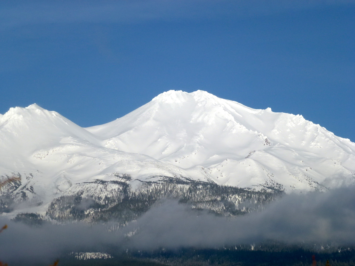
Mount Shasta looked particularly majestic, having had recent snow:

Created:  27 Jan 2016
Modified:  4 Jun 2016